Earth
Globe, Day & Night, Time Zones & Seasons
Interactive Globe & Lessons
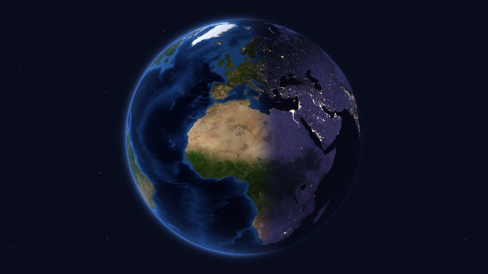
- The 3D Globe — spin the Earth and zoom in until you can make out a mountain range or a delta: satellite imagery, 3D relief, borders, search across 484,000 places, distance measuring, and day and night at any date and time you choose
- Day and Night — a five-step lesson that drives the globe: Earth’s rotation, its axis tilted 23.4°, a city to follow from morning to evening, and days that are longer in summer than in winter, 12 hours long at the equinoxes
- Time Zones — a five-step lesson: the time changing from one country to the next, the 15° zones, the real zones coloured on the globe, the time difference between two cities and the International Date Line
- Seasons — the Earth’s orbit and the tilt of its axis: the solstices and equinoxes, day length, the Sun’s height and the energy received at each latitude through the year, and why distance from the Sun has almost nothing to do with it
For teachers and the curious
Source Code
- fbastin/Earth — the site on GitHub: the WebGL globe, the lessons, and the script that prepares the imagery and the data
Data
Satellite imagery: NASA Blue Marble and Black Marble, through NASA’s GIBS service. Relief: ETOPO2v2, NOAA. Coastlines and borders: Natural Earth. Places: GeoNames, licensed under CC BY 4.0. Time zones: timezone-boundary-builder, © OpenStreetMap contributors (ODbL).